Citation
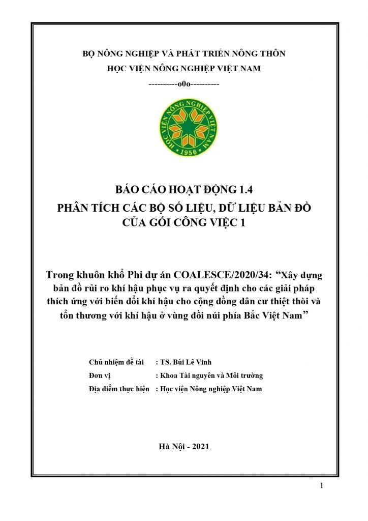
Pham Thanh Lan. 2022. Activity 1.4. report “Developing indicator datasets, shape files and contribution to NUI Galway partners drafting of section of project research paper(s) based on data/results from WP1” within the work package 1 “To identify and geospatially map the communities and households across Yen Bai province (and other provinces in Vietnam) which are the most economically vulnerable and marginalized” of the COALESCE/2020/34 Project.
Key activities and results:
- Selecting another 10 important indicators from the 50 remaining indicators completed from activities 1.1 and 1.2 for strengthening Yen Bai map data for scientific publications.
- Standardizing attribute data for the 10 selected indicators for Yen Bai developing scientific publications.
- Developing 10 thematic maps for Yen Bai for developing scientific publications with NUI Galway.
- Selecting another 10 important indicators from the 50 remaining indicators completed from activities 1.1 and 1.2 for strengthening Vietnam map data for scientific publications.
- Standardizing attribute data for the 10 selected indicators for Vietnam developing scientific publications.
- Developing 10 thematic maps for Vietnam for developing scientific publications with NUI Galway.
Permanent link to share this item: http://crafs.vnua.edu.vn/en/reports/activity-1-4-report/
Link download: https://drive.google.com/file/d/1oV8TRdQ2F9fpWupYWl6GbMv1H9-eMYej/view?usp=sharing
CRAFS Key Author ORCID iDs
Pham Thanh Lan: https://orcid.org/0000-0002-9880-6146
Notes: This activity report is part of the COALESCE/2020/34 Project “Resilience at the margins: Climate risk mapping and spatial decision support systems for strengthening the climate change resilience of the furthest behind in rural communities in Viet Nam” funded by the Irish Research Council (IRC) for 2021-2023.

 Tiếng Việt
