Citation
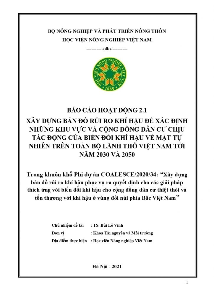
Vu Thanh Bien. 2022. Activity 2.1. report “Climate vulnerability geospatial mapping to identify locations and communities across Vietnam which are biophysically most vulnerable to climate change effects to 2030 and 2050” within the work package 2 “To identify and geospatially map the communities and households across Yen Bai province (and other provinces in Vietnam) which are the most economically vulnerable and marginalized” of the COALESCE/2020/34 Project.
Key activities and results:
- Developing a slope map for Yen Bai province.
- Developing a rainfall map for Yen Bai province.
- Developing a temperature map for Yen Bai province.
- Developing a slope map for Vietnam.
- Developing a rainfall map for Vietnam.
- Developing a temperature map for Vietnam.
Permanent link to share this item: http://crafs.vnua.edu.vn/en/reports/activity-2-1-report/
Link download: https://drive.google.com/file/d/12IVIYegmq_1Y8Mtgz1EjP1dubnK_JAXn/view?usp=sharing
CRAFS Key Author ORCID iDs
Vu Thanh Bien: https://orcid.org/0000-0002-0632-1644
Notes: This activity report is part of the COALESCE/2020/34 Project “Resilience at the margins: Climate risk mapping and spatial decision support systems for strengthening the climate change resilience of the furthest behind in rural communities in Viet Nam” funded by the Irish Research Council (IRC) for 2021-2023.

 Tiếng Việt
